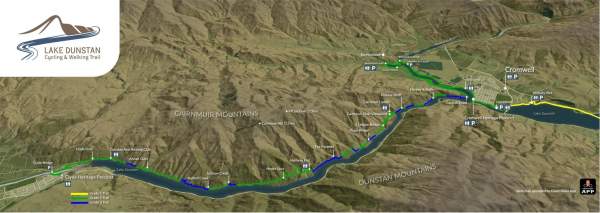
55km | Grade 2-3 | 1-2 Days
The trail offers cyclists and walkers a challenging 55km ride (Grade 2-3) through unique and fascinating landscapes so characteristic of Central Otago as it journeys along Lake Dunstan, the Kawarau River and the mighty Clutha River Mata-au.
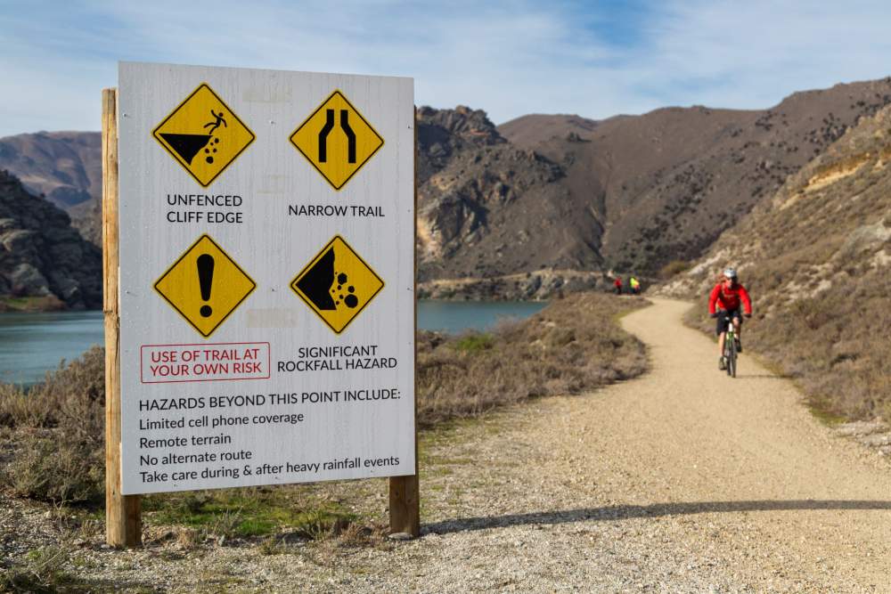
Please note that parts of the trail are in remote terrain with some challenging grade 3 sections which are only recommended for confident and experienced cyclists. To understand what to expect, to help you choose the right section of trail for your ability, and how to prepare for your ride, click here.

Cyclists and walkers experiencing the Lake Dunstan Trail will marvel at the man-made landscapes, the rich Maori and early pioneer history, and amble through the vineyards of Bannockburn.
The region’s rich modern, pioneering and Maori historical stories are integrated along the way, some of which are brought to life in the Clyde and Cromwell Historical Precinct.
The Lake Dunstan Trail extends and complements the well-established Great Rides in Central Otago and the Southern Lakes, and provides a key link with the Otago Central Rail Trail and the Roxburgh Gorge Trail, both of which are part of Ngā Haerenga Great Rides of New Zealand.
Lake Dunstan Trail Sections
-
Smiths Way to Cromwell Heritage Precinct - 16km, Grade 1
This section of the Lake Dunstan Trail is a popular day ride or walk to / from Cromwell. It wends its way alongside Lake Dunstan from Smiths Way via Pisa Moorings to Cromwell.
There are many places to rest a while beside the lake, with swimming, boating and other water sports all popular along most of its distance. At Cromwell Heritage Precinct be sure to park up and explore the boutique galleries, retail stores, restaurants and cafes.
This is an ideal section of trail for families or beginners to enjoy. Check out this great family friendly ride itinerary.
-
Cromwell Heritage Precinct to Bannockburn Inlet - 7km, Grade 2
Following the Kawarau arm of Lake Dunstan to the Bannockburn bridge, you will have amazing vistas across the lake to Bannockburn vineyards and the next section of trail which loops back round on the opposite side. Along the way there are sections where the land has been reshaped in the search for gold and then again when the lake was formed.
After crossing the Bannockburn bridge loop around to Bannockburn Inlet where there is a toilet, and parking available.
It is possible to return to Cromwell on a trail alongside Bannockburn Road - making for a wonderful short and family friendly day ride. Click here for a more details of a great family ride on the Lake Dunstan Trail.
-
Bannockburn Inlet to Cairnmuir Gully - 11.3km. Grade 2-3
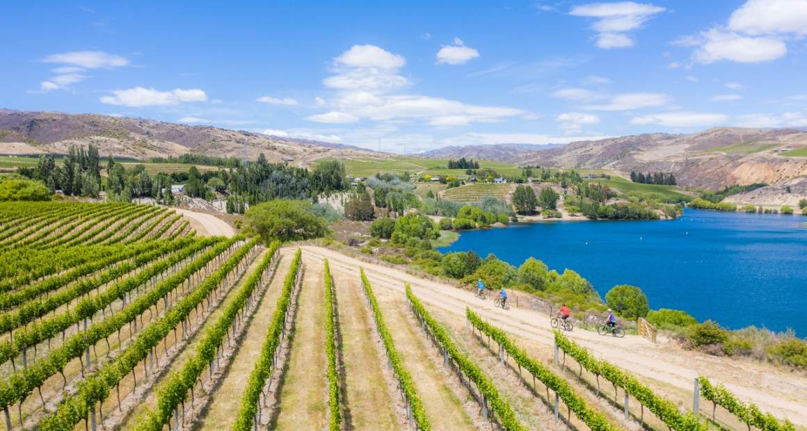
The trail loops around the Bannockburn Inlet which is a popular picnic area with a designated swimming area. As it continues toward Cornish Point it passes by vineyards and olive groves - with views back across to Cromwell and the Heritage Precinct.
This section includes the first of the bluff bridges, and you will cycle at the base of the stonework faces of the Cairnmuir slide, a unique feature high on the slopes above the lake. It was designed to protect the river from a major land slide, which could overwhelm the Clyde Dam, a short distance downstream.
As you go, look out for the drainage tunnels dotted along the length of the gorge. There are 13 tunnels (total 18.5km of tunnels) drilled into the hillsides of the gorge in the mid 1990’s. These tunnels are also used to mitigate against landslips into the Clutha River.
-
Cairnmuir Gully to Halfway Hut - 8.4km, Grade 2 - 3
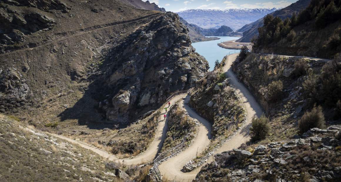
This section requires the most attention and skills as there are narrow sections and more gradient.
The aptly named Cairnmuir Ladder, may look daunting but the switchbacks have been designed to a maximum of 6 degree gradient with a 3m minimum radius. This is section contains the highest point of the trail, rewarded with magnificent views which also means exposure to the weather.
The Hugo suspension bridge is in the middle of this section with a walkable steep land option for those uncomfortable on the bridge.
Toilets are at either end of this section at Cairnmuir Gully & Halfway Hut
-
Halfway Hut to Dunstan Arm Rowing Club - 10.7km, Grade 2-3
Close to Halfway Hut you will find a short switch back section with tight corners and a good climb / descent. There are plenty of picnic spots to stop at and enjoy the lakeside.
A dominant feature at the Clyde end of the trail is New Zealand’s third largest hydro-dam, the Clyde Dam. This was one of the ‘’Think Big” projects driven by the Muldoon led Government to diversify the economy and drive growth. Started construction 1977. The first power was generated in 1992.
-
Dunstan Arm Rowing Club to Clyde Heritage Precinct - 3.5km. Grade 1
This section follows the sealed road in places, and shares the Clyde road bridge before climbing up towards the Clyde Heritage Precinct.
Support the Lake Dunstan Trail

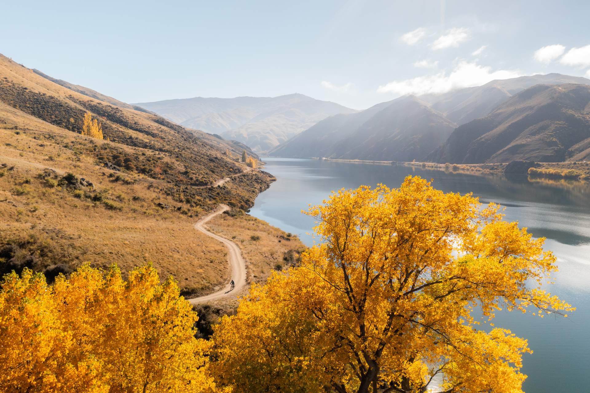
The Lake Dunstan Trail is managed by a not-for-profit charitable trust, so if you've enjoyed your ride or walk on the trail, then you're invited to make a donation towards its ongoing maintenance.
Or please provide your feedback by completing a trail survey so that improvements can continuously be made to the trail experience. Thank you.

Lake Dunstan Trail - Highlights & Safety Videos
Preparing to ride the Lake Dunstan Trail
The Lake Dunstan Trail includes some remote terrain and challenging grade 3 riding. Find out what to expect in this short video.
 Play Video
Features Along the Trail
-
The Confluence
Cromwell at the confluence of the Clutha River (incorporating Lake Dunstan) and the Kawarau Rivers. After Cromwell, known as Clutha River.
-
Lake Dunstan
New Zealand’s newest lake – 40km length, covering 26.4km sq of former river-bed and terraces. New bridge – Deadmans Point.
-
History & Heritage
Rich in history both Maori and early pioneers. Influx of European pioneers associated with the gold rush of the 1960’s. Later horticulture and pastoral farming became features of the landscape.
-
The Clyde Dam
New Zealand’s third largest hydro-dam, the Clyde Dam. This was one of the ‘’Think Big” projects driven by the Muldoon led Government to diversify the economy and drive growth. Started construction 1977. The first power was generated in 1992.
-
Social History
The development of the Clyde Dam project resulted in considerable upheaval for Cromwell residents and the commercial heart of the town.
-
Winegrowing
The Cromwell Basin and Bannockburn area – are some of the southernmost grape growing regions in the world. (45degrees south).
-
Cromwell Heritage Precinct
Incorporate time to explore around Cromwell and through the Cromwell Heritage Precinct. When the Clyde Dam was completed in 1990 the main street of Cromwell disappeared. Historic buildings -dating back to the gold rush of the 1860’s were saved or lovingly rebuilt on this higher ground.
-
Cairnmuir Slide
The Cairnmuir slide is an unique feature on the slopes above the Clutha River. Designed to protect the river from a major land slide, which could overwhelm the Clutha Dam, a short distance downriver.
-
Drainage Tunnels
There are 13 tunnels (total 18.5km of tunnels) drilled into the Cromwell Gorge in the mid 1990’s. These tunnels are also used to mitigate against landslips into the Clutha River.

OUR REGIONAL VALUES
Make a Difference
Be at the cutting edge, setting directions and accepting challenges.
Respecting Others
Take the time to listen and understand other people’s opinions and cultural differences.
Embracing Diversity
Be open to new ideas, open to exploring the possibilities and appreciate the strengths and talents each person brings.
Adding Value
Always ask ourselves is there a better way – one that achieves a premium status, quality experience or interaction.
Having Integrity
Seek to be open and honest in all our interactions.
Learning from the past
Choose to learn from past experiences with the future generations in mind.
Making a sustainable difference
Make decisions with the community in mind and in harmony with the natural environment so we can help create the kind of place we can be proud of.
Protecting our rich heritage
Protect and celebrate our rich heritage in landscapes, architecture, flora, fauna and cultural heritage.
Meeting our obligations
Do the right thing by our region and check what legal requirements need to be met before you get started.


